I was exploring Google Maps (and Bing Maps) recently and not Street View but aerial shots of the park instead. I found it pretty cool and if not fascinating what the satellite images shows from rare construction pictures, to unspoken filming sessions!
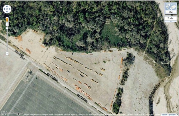
You can get some cool shots of construction like this one taken of Tatsu's track and support in the abandoned parking lot just across from the regular lot.
Here's a nice picture of Tatsu under construction from Google Maps.
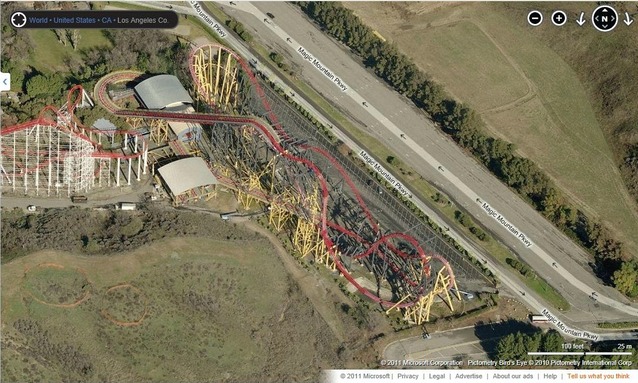
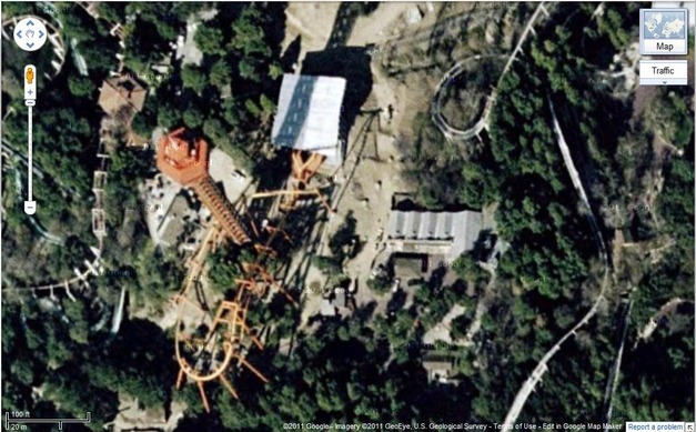
Though this is Bing Maps, this picture is conveniently taken while X is transforming to X2.
Never got to see Psyclone like this before..
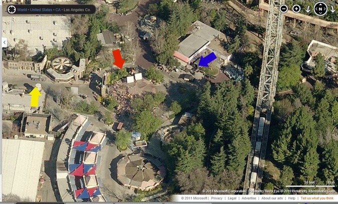
Still taken from Bing Maps, this image shows the possibility of some sort of event going on while the park is closed. The red arrow shows a mob of people gathered in front of Gotham City Backlot (DC Universe), the blue arrow points to an establishment set up in front of the arcade, and yellow points to a water truck possibly to wet the pavement to look better.. All of these hint to maybe a filming session in 2005-2006.
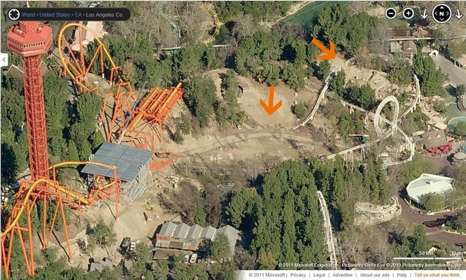
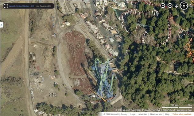
This last one shows Tatsu construction and how it affected the area surrounding it including Revolution whivch had to be temporarily scrapped in some places like where the orange arrows point.
So that was all that we got that was worthy of posting for you guys to see. There's still loads more of things to discover on these online map services. If you find any, feel free to drop us a line!

 RSS Feed